innovative agriculture solutions
based in California’s Salinas Valley, Agrigator Solutions specializes in crop management and soil health—offering practical, tailored support to boost yields.
aerial trial evaluation


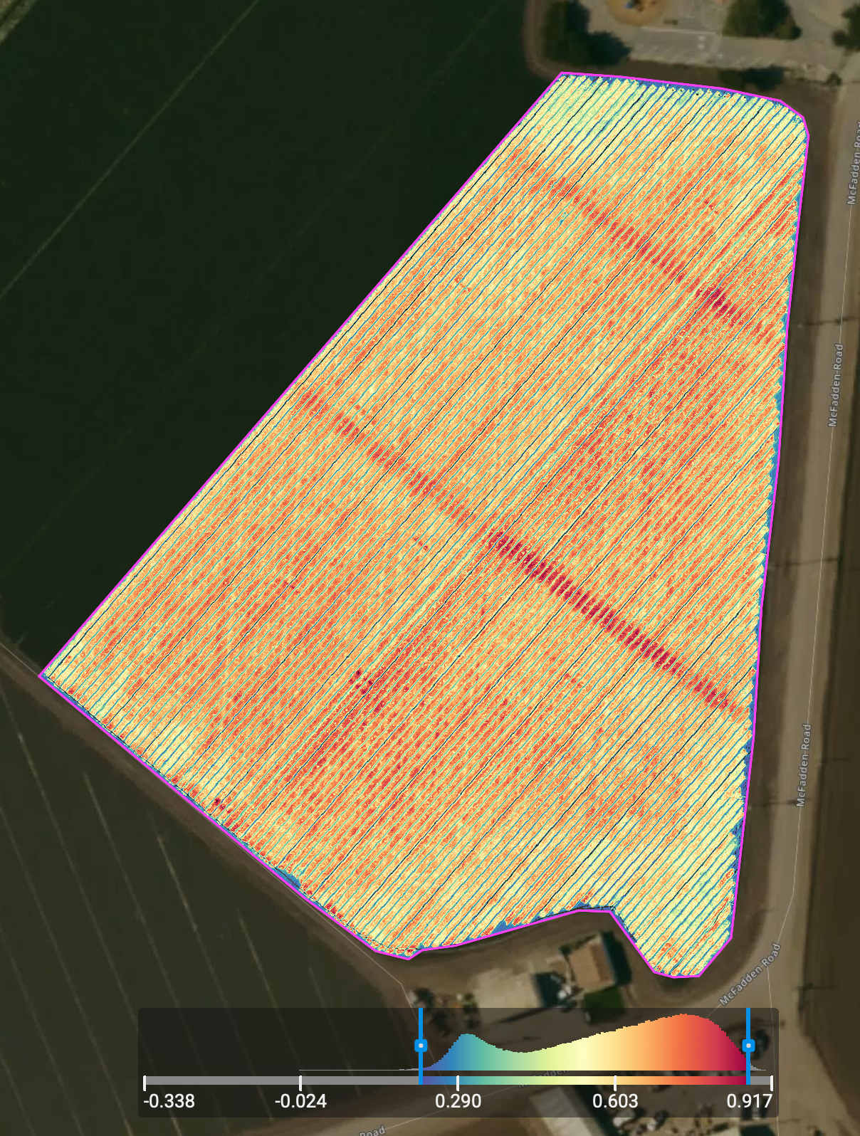
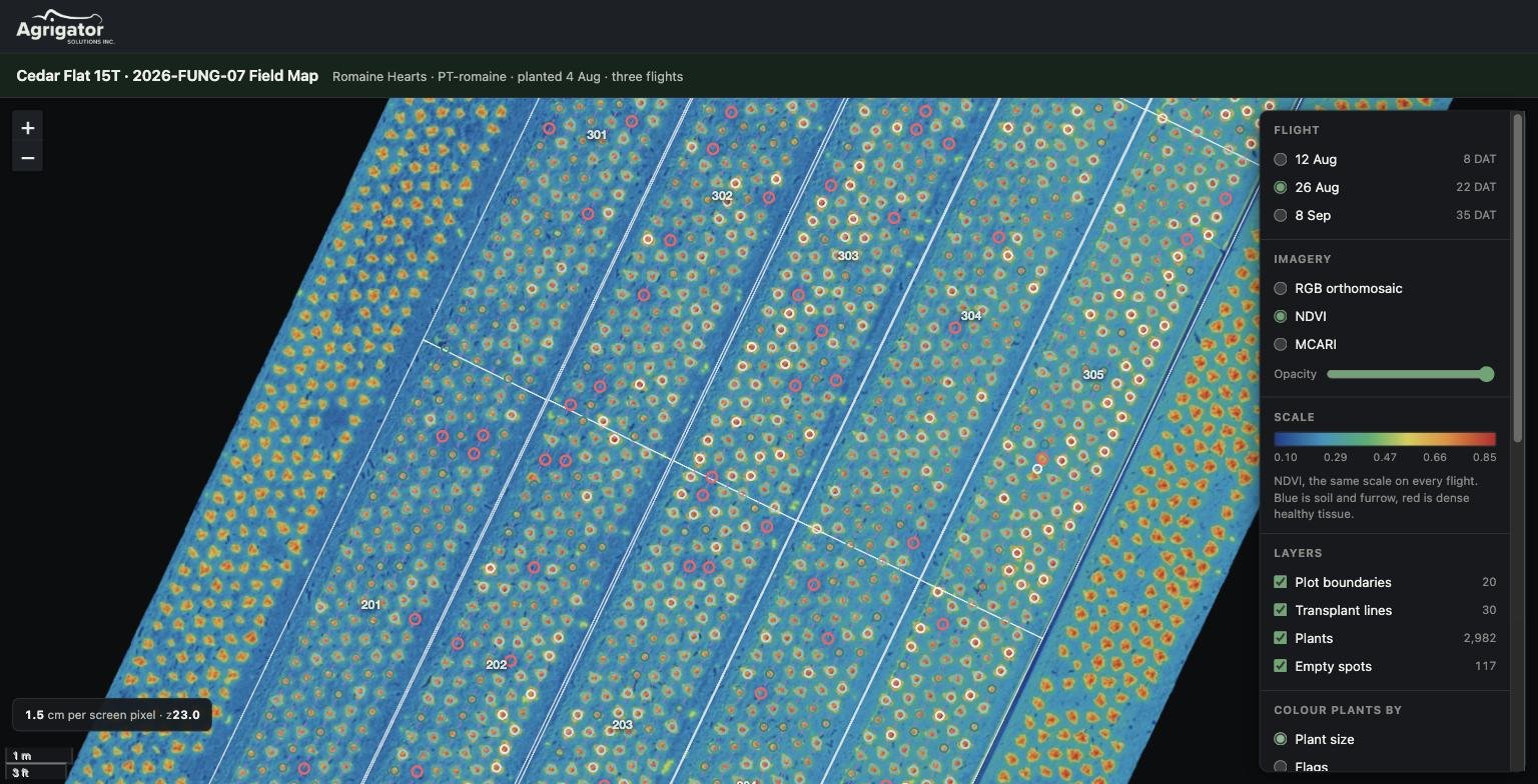
aerial drone technology captures high-resolution images and data from above, giving growers insights into crop health, soil conditions, irrigation efficiency, and pest or disease issues.
recent projects
in the field
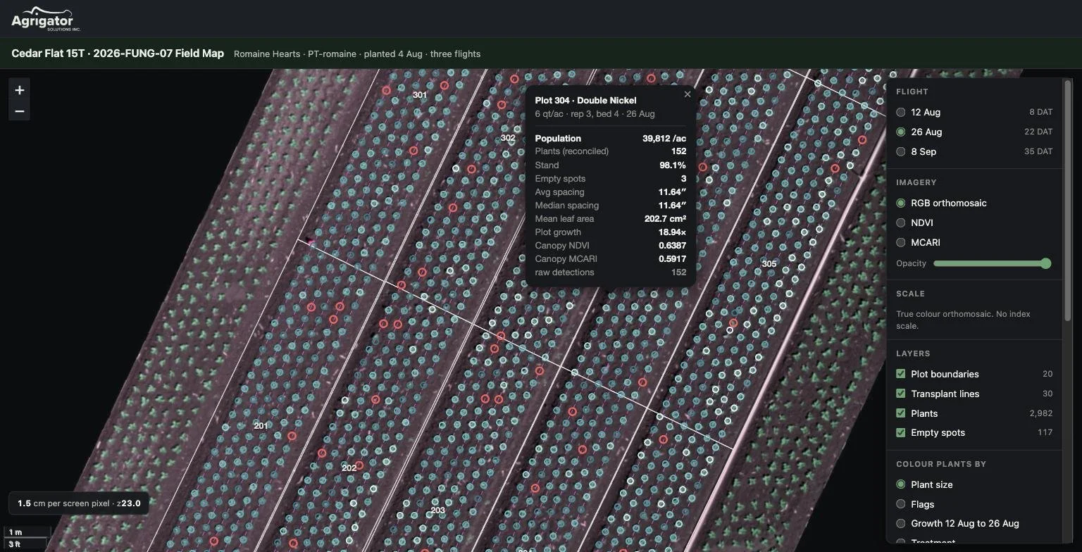
replicated field trials: fungicide, fertility, variety, insecticide and herbicide trials on commercial vegetable ground. Recent example: a 2026 romaine hearts fungicide trial comparing five programs across 20 replicated plots.
drone crop monitoring: multispectral flights that count and measure individual plants. On that trial, three flights followed about 3,000 plants from transplant to full canopy.
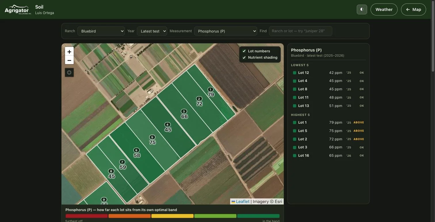
soil health mapping: in-house testing for nitrate, ammonium and phosphorus, tied to block-level soil history going back to 2016.
field record maps: GIS-accurate, pen-plotted ranch sheets that crews mark up by hand to record irrigation, fertilizer, spray and repair work.
software
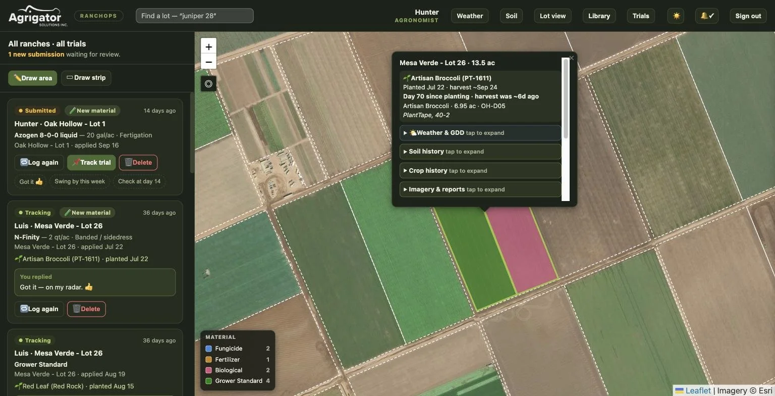
ranch operations app: managers assign weekly irrigation and fertilizer jobs from a map, and foremen see them on a phone or iPad in English or Spanish.
nitrogen reporting: a running per-block ledger of nitrogen applied and removed, built for Central Coast Ag Order 4.0 reporting.
greenhouse scheduling: live inventory and irrigation schedules for a commercial transplant nursery, covering more than 30,000 trays.
client data portal: trial reports, drone maps and imagery in one password-protected site.
contact
connect with agrigator solutions today to learn more about tailored solutions for your operation.